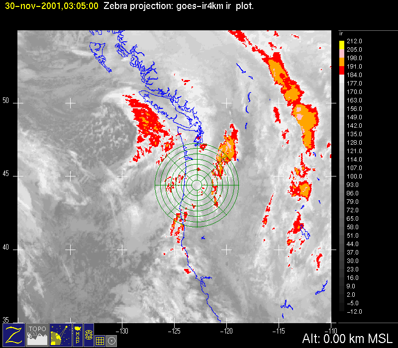
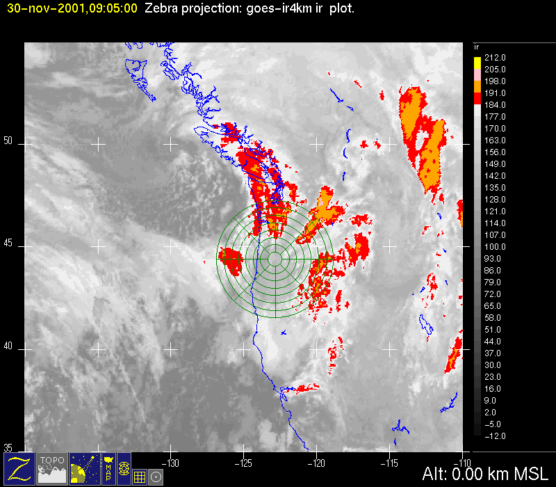
IOP 2: 29-30 November 2001
Time Period of IOP
1200 UTC 29 Nov-0000 UTC 30 Nov
Overview of IOP
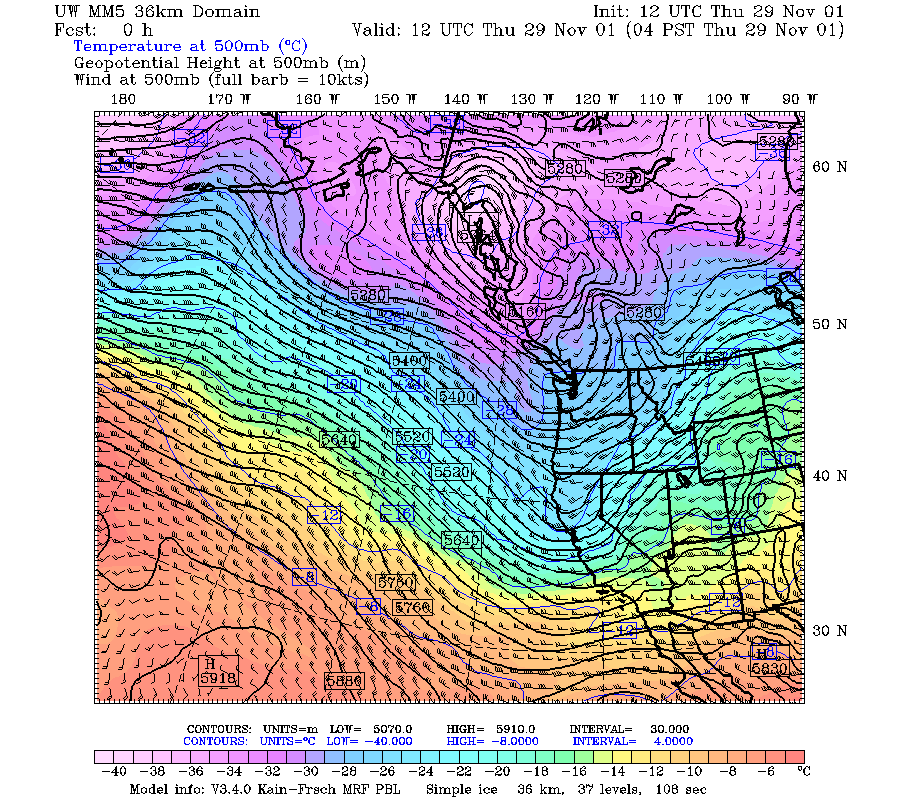
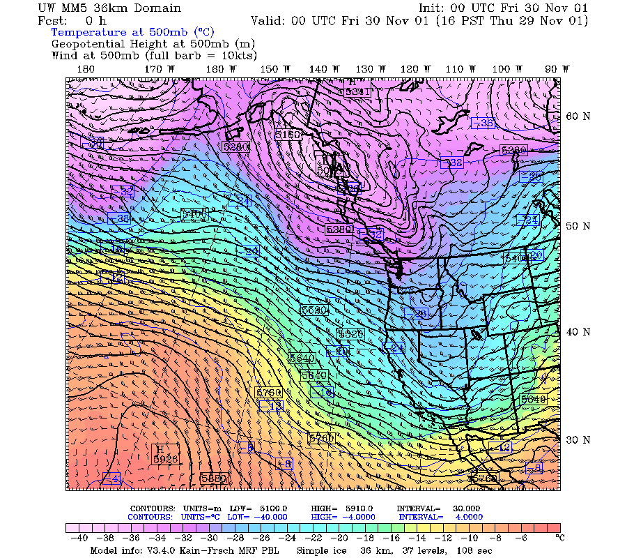
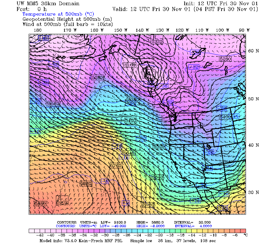
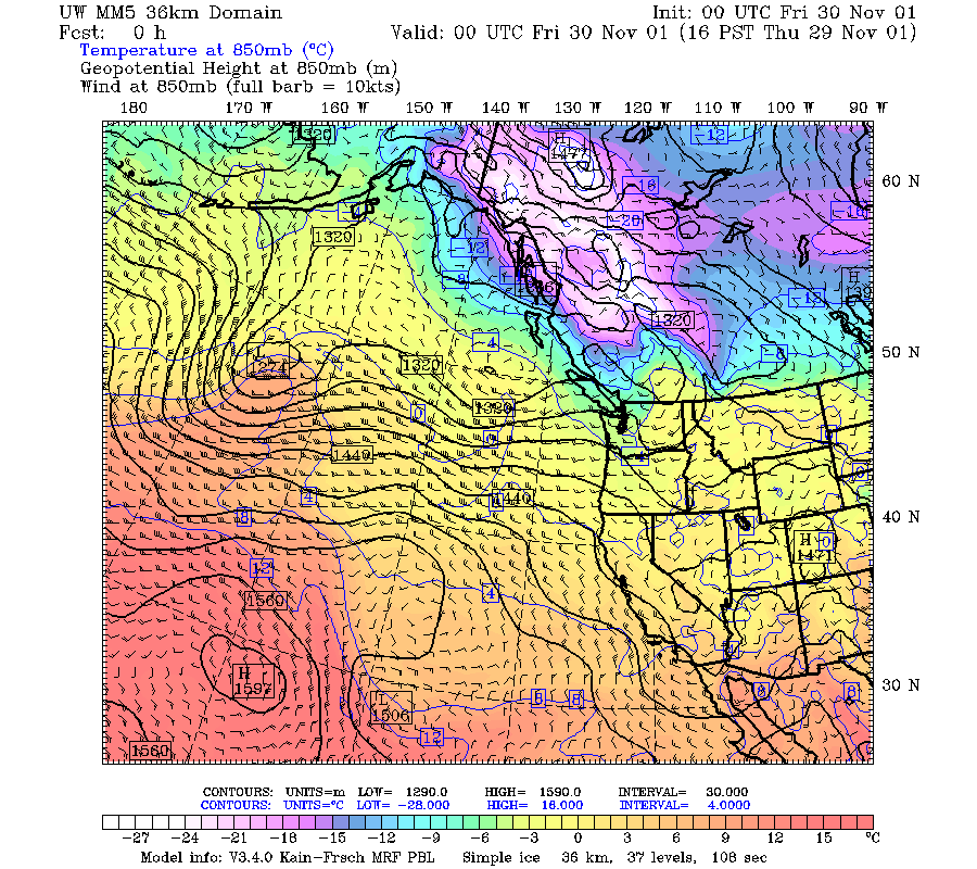
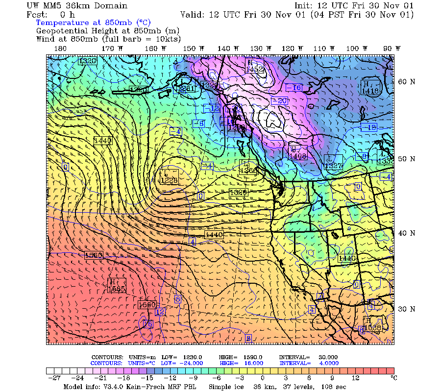
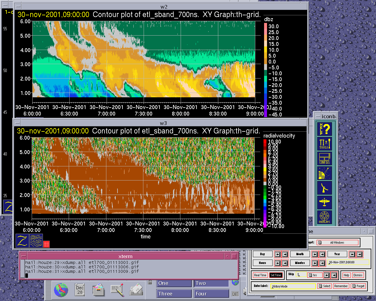
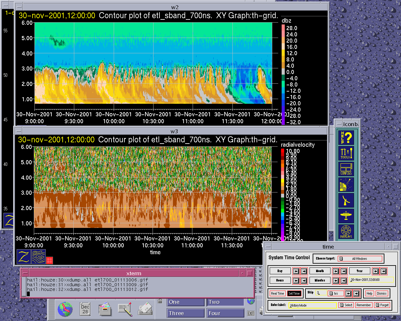
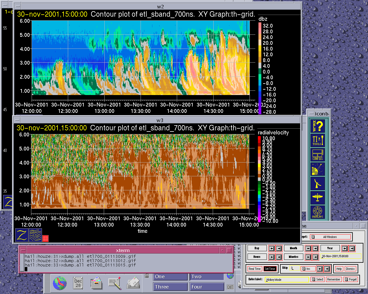
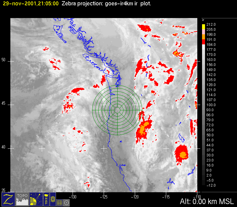
The major storm of 28-29 November was followed the next day by a much less intense short wave trough, which passed over the radar area between 0900 UTC 29 November and 2100 UTC 30 November 2001. At 500 mb, this weak short wave moved rapidly from the west northwest from a longitude of 150oW at 1200 UTC 29 November (Fig. 1a) to 135oW by 0000 UTC 30 November (Fig. 1b). It was over the Oregon-Washington area at 1200 UTC 30 November (Fig. 1c). The trough was evident at 850 mb at 135oW at 0000 UTC 30 November (Fig. 2a), and by 1200 UTC it was affecting
Convair-580 Summary
No flight
P-3 Summary
No flight
S-Pol Radar Summary
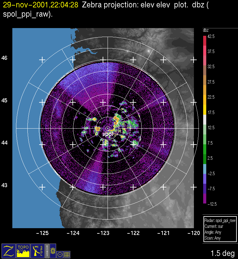
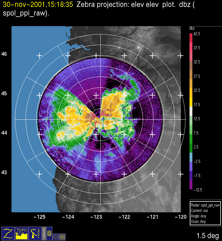
The S-Pol radar was run continuously in the same mode of operation for the entire length of the field project.
Summary of
Launch times at:
1625 UTC 29 Nov
1914 UTC 29 Nov
Summary of Leeside Sonde Launches
Launch times at: Black Butte Ranch, OR (a.k.a. ISS-3), Lat: 44.379, Lon: -121.679, Elev: 1027 m
1515 UTC 29 Nov
1700 UTC 29 Nov
1850 UTC 29 Nov
2055 UTC 29 Nov
2300 UTC 29 Nov
Summary of NWS Sonde Launches from Salem (SLE)
Launch times:
1200 UTC 29 Nov (standard)
1500 UTC 29 Nov (special)
1800 UTC 29 Nov (special)
2100 UTC 29 Nov (special)
0000 UTC 30 Nov (standard)
Summary of Snow Crystal Ground Measurements
Measurement times:Every 15 minutes from
1500 UTC 29 Nov-2215 UTC 29 Nov (at
